Geology
Unraveling the River's Ancient Journey
Ever wonder how rivers choose the course they run? We think about it all the time as we float our three geologically fascinating rivers in Northeast Oregon and western Idaho. This region of Northeast Oregon and western Idaho formed as volcanic islands far from this region (near the present day Aleutian Islands) some 300 million years ago. Through plate movement associated with the breaking apart of Pangaea and the opening of the Atlantic Ocean, the chain of volcanic islands eventually “rafted” onto North America (Idaho was the coast then) between 120 and 80 million years ago. When this collision occurred, the “exotic terranes” (volcanic islands) were “glued” to North America by a granitic upwelling (the Idaho Batholith). The section of the Salmon River we float forms the suture zone between North America and these exotic terranes. The terrane, named the “Wallowa Terrane”, extended from the present day Lower Salmon River west to the Blue Mountains.
Tracing Hells Canyon's Past
Signs found in Hells Canyon and surrounding mountain ranges (the Seven Devils and the Wallowa Mountains) which led geologists to discover the tropical island origin of this region include: tropical vegetation fossils, marine reptile fossils (namely Ichthyosaurs), and marine invertebrates (molluscs) called Ammonites. In Hells Canyon, researchers also found pillow basalt, volcanic structures formed when lava cools underwater.
In more recent geologic times (17-14 million years ago), thinning of the plate beneath this region resulted in fractures in the earth which oozed lava onto the surface. These flows, called the Columbia River Basalt Flows (CRBF), are one of the largest flood basalts in the world (by volume). The layered cliffs that resulted from multiple flows form much of the landscape in Hells Canyon, on the Salmon River, and the Grande Ronde River. The image to the right is of columnar basalt, a feature of the CRBF, along the Salmon River.
Snake River Through Hells Canyon
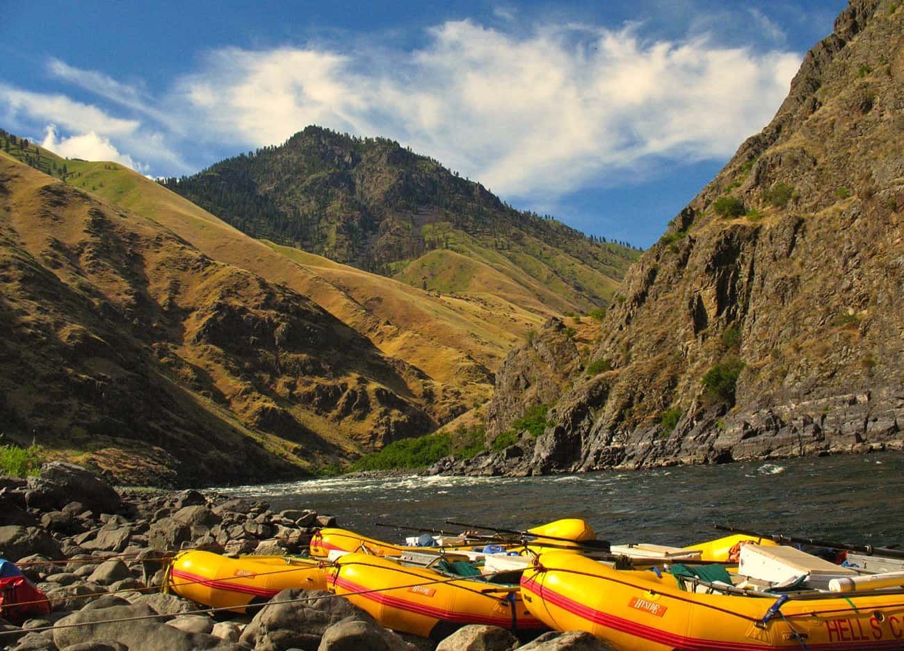
The Snake River headwaters in the Yellowstone region of Wyoming. It flows south, then west across Idaho, then heads north at the border between Oregon and Idaho. As the one of the largest tributaries to the Columbia River, the Snake flows through a wide-range of terrain, but none quite as impressive as the nearly 8,000 feet deep gorge of Hells Canyon. The Snake River began carving Hells Canyon significantly about 2-2.5 million years ago. Around this time, it’s theorized that Lake Idaho, a massive lake extending from Weiser to Twin Falls, ID, breached its glacial dam. The flood outwash moved north and west, carving out the current path of the Snake River and forming Hells Canyon. Another more recent and significant canyon-widening event occurred approximately 14,500 years ago. The Bonneville Floods released when the glacial Lake Bonneville near Salt Lake City, Utah, breached its natural dam and released about 33,000,000 cubic feet per second (cfs) of water. For comparison, the highest recorded flow in recent history is 195,000 cfs on June 18, 1974. Some of the high benches in Hells Canyon are remnants of this flooding event.
Salmon River
The Salmon River headwaters in the mountains of central and eastern Idaho (Sawtooths, Salmon River Range, and more). When traveling downriver on the Lower Salmon, one encounters 4 beautiful gorges, which create the stair-stepped nature of the Salmon. The river constricts and long, deep pools form in these gorges because some of the rock type is very resistant to erosion. Incidentally, the gorges consist of metamorphosed “basement” rock from the collision of the islands with North America. With constriction, there’s an increase in speed (velocity) of the water, so rapids are also encountered in the gorges. The geology of the more open and wide parts of the Salmon consists mainly of the Columbia River Basalts. Basalt is less resistant to erosion than the metamorphosed basement rock, so the river was able to carve out a wider path. The white sandy beaches of the Salmon are attributed to the erosion of the granites in the headwater mountain ranges, namely the Sawtooth and Salmon River Ranges.
Grande Ronde River
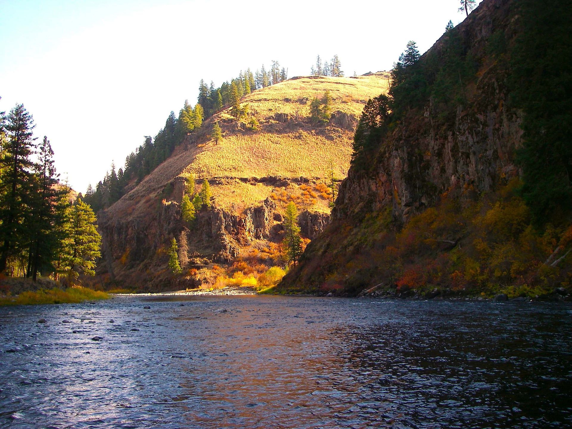
The Grande Ronde river headwaters in the Blue Mountains. It flows 182 miles through farmland, then down through a beautiful canyon carved out of the CRBF. The Grande Ronde Formation of the CRBF is the largest in volume and is visible as layered cliffs in the Grande Ronde River canyon.


